Call for Abstract for 2025 SaGES Conference

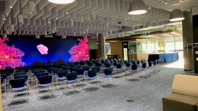
The Surveying and Geomatics Educators Society (SaGES) is pleased to issue a call for abstracts for presentations at the SaGES 2025 Conference from June 15–19, 2025 at the BCIT Downtown Campus in Vancouver, B.C.
Hosted by the British Columbia Institute of Technology (BCIT), the SaGES 2025 Conference will welcome approximately 100 attendees, including educators, professionals, and technology leaders from across North America. Abstracts and papers related to surveying and geomatics education are of interest for this event. Please submit a 250-350 word abstract through the conference website. The deadline is March 15, 2025. Feedback will be provided by Conference Organizing Committee. It is encouraged that abstracts fall within one of the themes listed below. The topics under each theme are suggestions only, they are not intended to be limiting. Accepted abstracts will be presented as oral presentations. Multiple abstract submissions from an author are acceptable; however, each accepted abstract requires at least one unique co-author to be registered for the conference.
Theme 1: Surveying and Geomatics Education
-
Potential topics in education include, but are not limited to:
-
Teaching modalities
-
Innovations in pedagogy styles and methods
-
Novel approaches to delivering course content that acknowledges the fleeting attention of students influenced by the digital media consumption habits of today’s learners
-
Distance education – success stories, hybrid v/s 100 % delivery mode
-
-
Innovative surveying/geomatics education experiences
-
State of the art curricula
-
Novel courses and course design
-
Experiential learning through field work camps and capstone projects
-
Internships, co-ops, and summer jobs as work-integrated learning (WIL)
-
Incorporating advances with the National Spatial Reference System (NSRS) modernization into curriculum
-
-
Appropriate integration of advanced technology into coursework
-
Challenges and opportunities with artificial intelligence to support student learning
-
-
US/Canada accreditation – experiences, best practices, program assessment techniques
Theme 2: Surveying and Geomatics Research
-
Potential topics in research include, but are not limited to:
-
Land/boundary surveying, survey law, cadastral issues (e.g. 3D legal boundary considerations, use of BIM for cadastral databases in urban areas)
-
Geodesy, geoid modeling, and positioning and navigation, GIS, Remote sensing, photogrammetry, laser scanning, hydrographic surveying
-
Deformation monitoring and natural hazard assessment
-
Coastal zone management and shoreline delineation
-
New tools for the surveyor through emerging technologies (e.g. uncrewed aircraft systems, robotics, USV, TLSS, pocket lidar, electromagnetic resistivity imaging, synthetic aperture radar, augmented reality, virtual reality, real-time monitoring, holographic computing, artificial intelligence, smart cities)
-
Sensor calibration to support high precision surveys
-
Effective strategies to support undergraduate research at a predominantly teaching institutions
-
Graduate and undergraduate student research (oral and poster presentations
-
Theme 3: Surveying and Geomatics Outreach
-
Potential topics in outreach include, but are not limited to:
-
Collaborative role of professional organizations (state and national)
-
Role of geomatics, NSRS modernization, and educators in supporting major initiatives such as the UN sustainability goals, asset management programs, autonomous vehicles
-
Opportunities and challenges associated with professional licensure
-
Innovative industry and government agency partnerships
-
Recruiting and retention efforts
-
Summer internships and cooperative work
-
Workforce development, trends, and changes (e.g. upskilling of the existing workforce)
-
Standards, guidelines, specifications, quality assurance, and quality control methodologies to elevate the state of practice
-